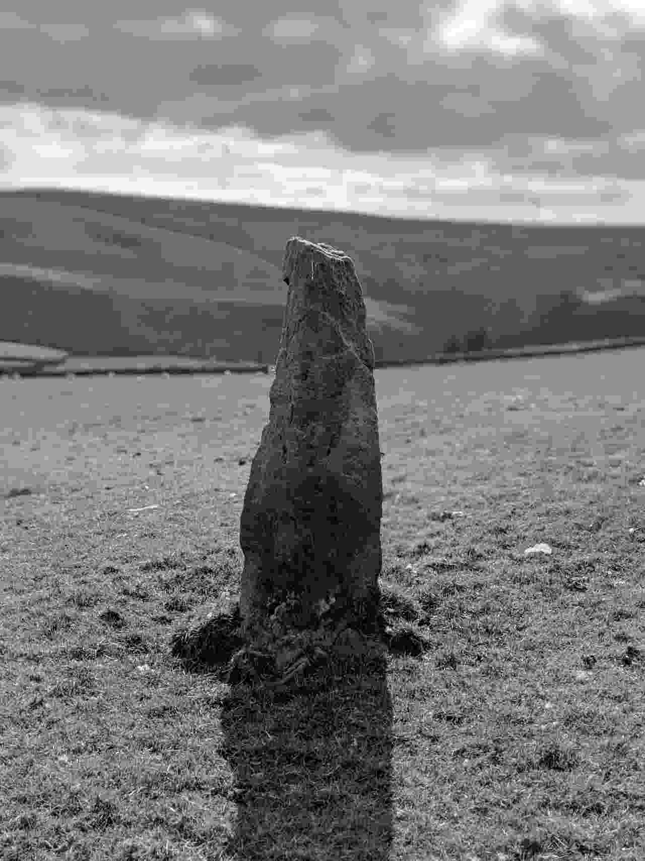
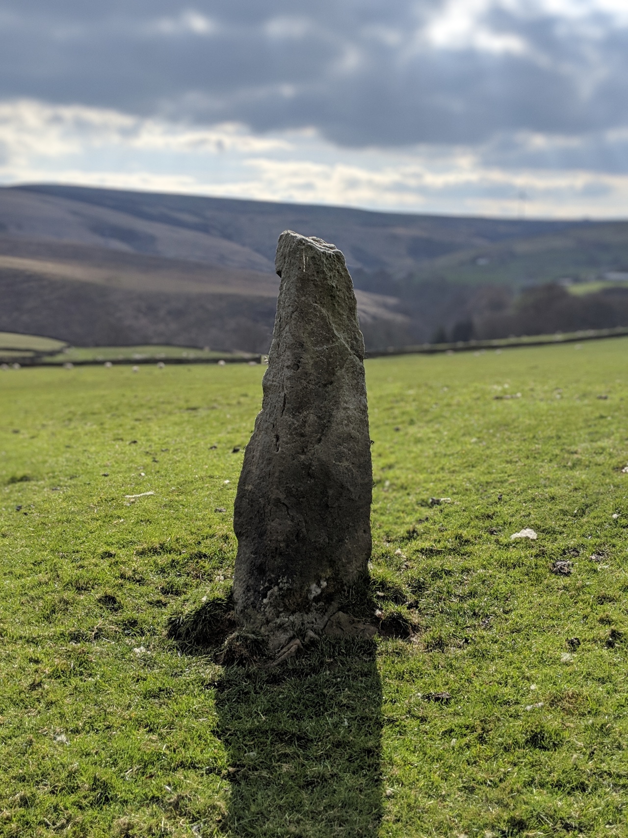
Stones Lane 2
Todmorden, West Yorkshire
stones_stone_2_1.jpg: stones_stone_2_1 (38kB) - view original 853kB
Geo URI: geo:53.7105, -2.1188 Latitude: 53° 42' 38 N Longitude: 2° 7' 7 W
One of three standing stones in Stones, and the only one that might actually be ancient (a pack horse trail marker set next to a spring). The other two are both likely victorian follies (even unfortunately the very tall one at the end of Stones Lane). There's another similar trail marker in a field near the junction of Sourhall Road and Bacup Road further up the valley towards Bacup.
Posted 20190414