Walshaw Dean Reservoir Circle
Date visited: 5th October 2024
A ‘lost’ circle thought to have been destroyed when the Victorians built the reservoirs, the engineers actually took the first photo of it in 1902 and it’s always been just below the surface.
Best visited in late summer for obvious reasons, you wont see it otherwise.
 The circle
is just by the dam of the middle reservoir ## 53.798474,
-2.055182
The circle
is just by the dam of the middle reservoir ## 53.798474,
-2.055182
OS Grid Ref: SD 96462 33575
Latitude: 53°47'55"N
Longitude: 2°3'19"W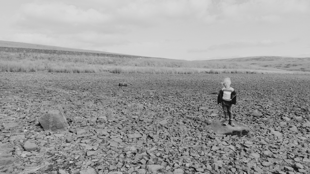 P for
scale. The middle stone from the 1902 photo below is
missing
P for
scale. The middle stone from the 1902 photo below is
missing
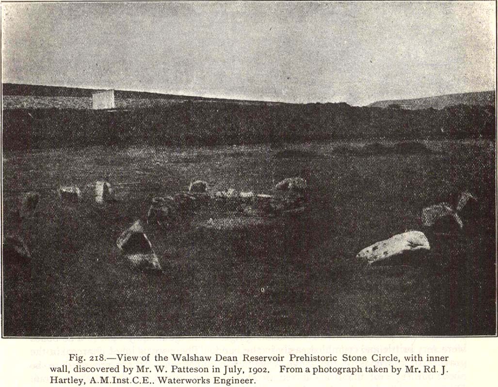 From
The Modern Antiquarian (see link below)
From
The Modern Antiquarian (see link below)
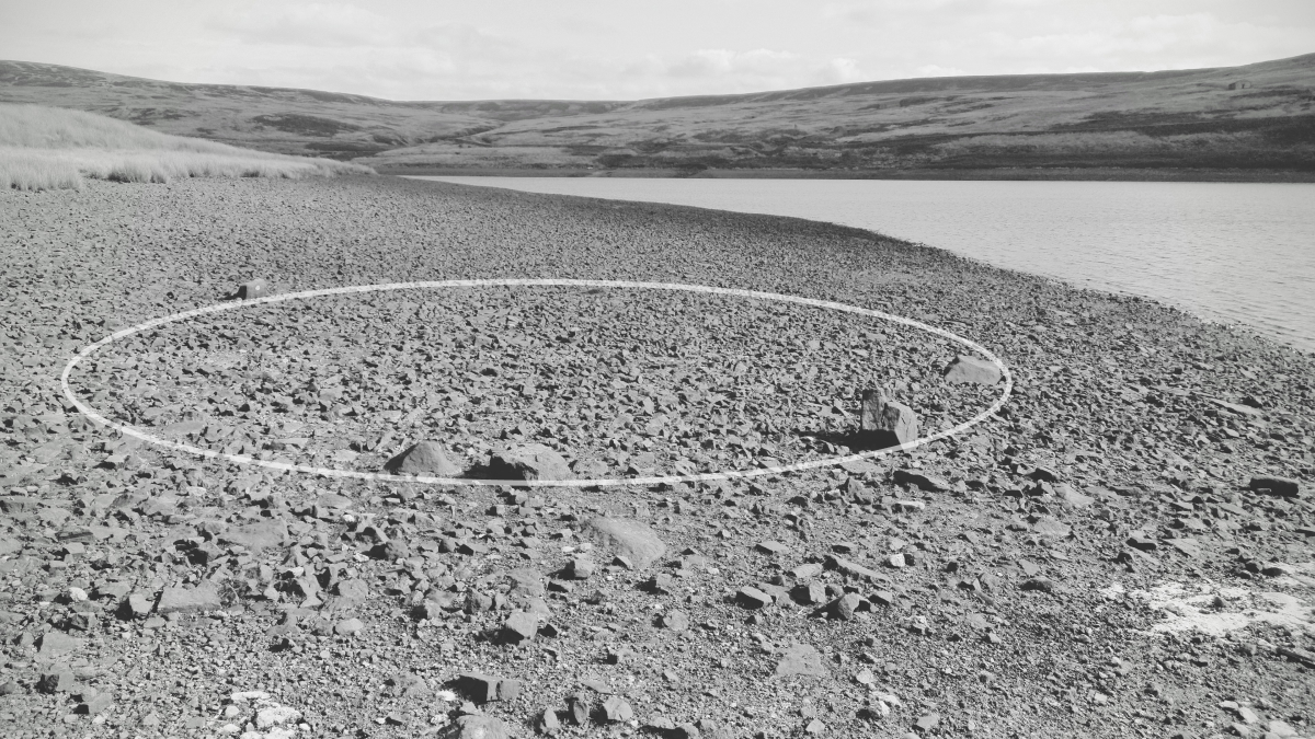 A circle
overlay showing the original stone circle perimeter
A circle
overlay showing the original stone circle perimeter
Links
- megalithic.co.uk
- [The Northern Antiquarian](https://megalithix.wordpress.com/ “The Northern Antiquarian”)
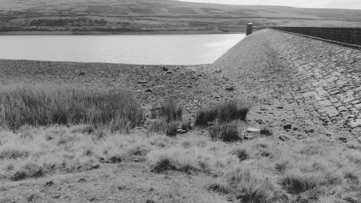
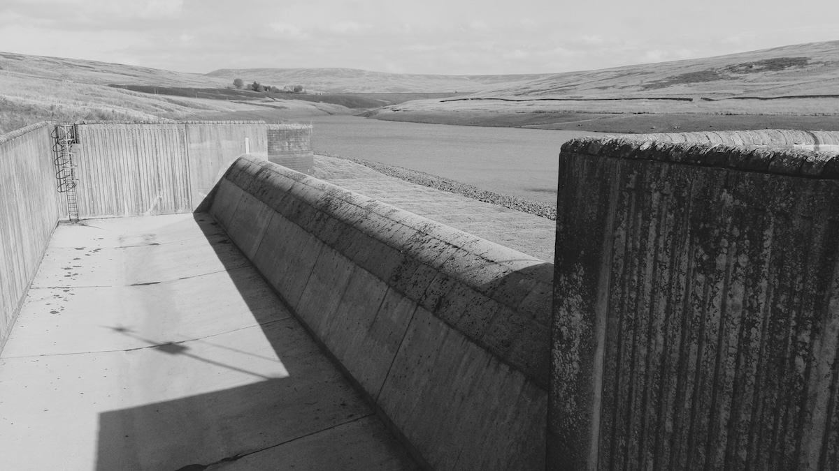 Bonus
concrete infrastructure photo
Bonus
concrete infrastructure photo